Sunday, July 31, 2005 -- Banff Day #2
Today we saw the Vermillion Lakes and Castle Mountain. The
Vermillion Lakes are a set of (roughly speaking) three shallow lakes
forming wetlands of the Bow River just west of Banff. They're
close enough to Banff to walk, but we drove to save some time.
Castle Mountain is on the east side of the Bow Valley between Banff and
Lake Louise. On Castle Mountain there is a nice trail about
half-way up, to the site of an old forest lookout.
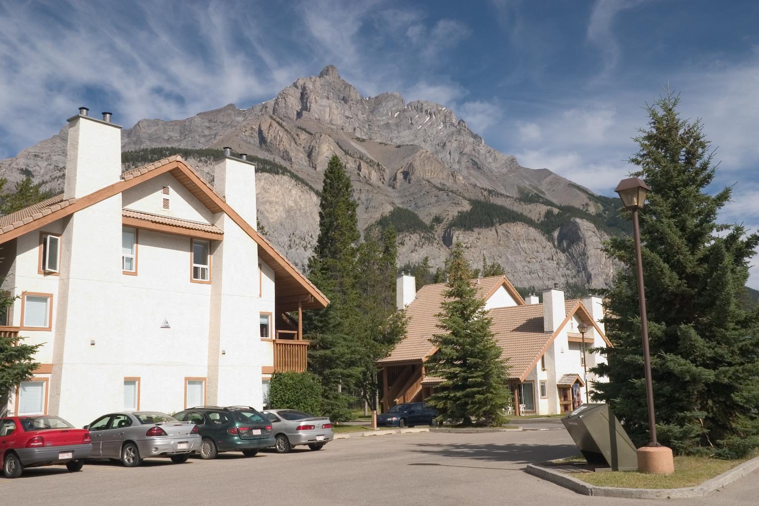
Here is Cascade Mountain, overlooking the Banff Rocky Mountain Resort
where we stayed for our first two nights in Banff. This place was
OK, but one can do better (and we did, for the next three nights).
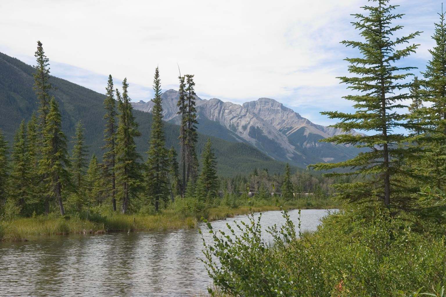
Scenes around the Vermillion Lakes...
This is not the Bow
River -- that's on the other side of the railroad tracks. Instead
it's a narrow channel extending between the 2nd and 3rd Vermillion
Lakes. Whether it actually connects the two lakes, and connects
to the river proper, probably depends on how high the water is.
(The Bow River is uncontrolled, so I'm thinking there's probably a huge
range from spring to fall.)
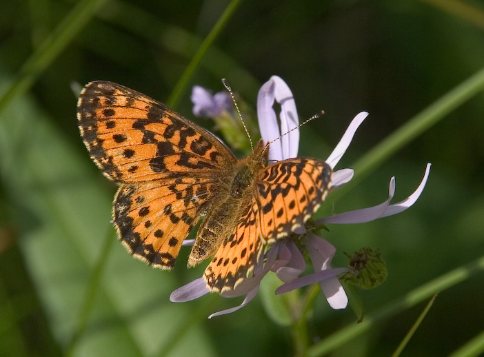
Some species of Boloria (bog
fritillary) -- I never could get a decent shot of the underside to tell
which one.
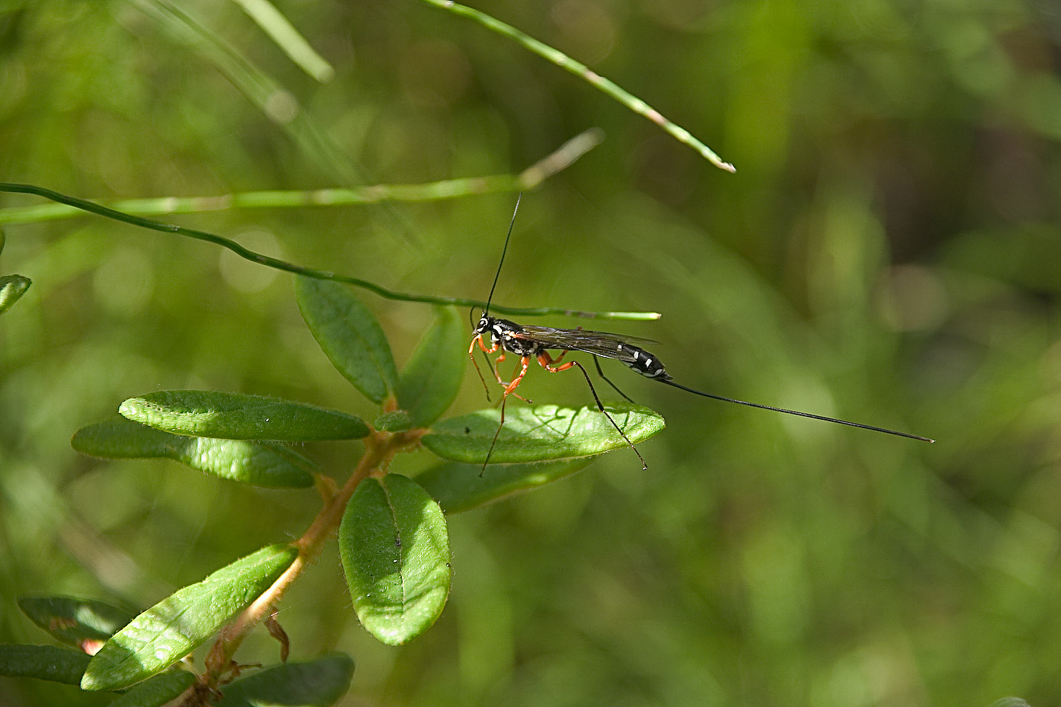
This ichneumon wasp was a most impressive critter -- something like 3
inches from head to tip of ovipositor.
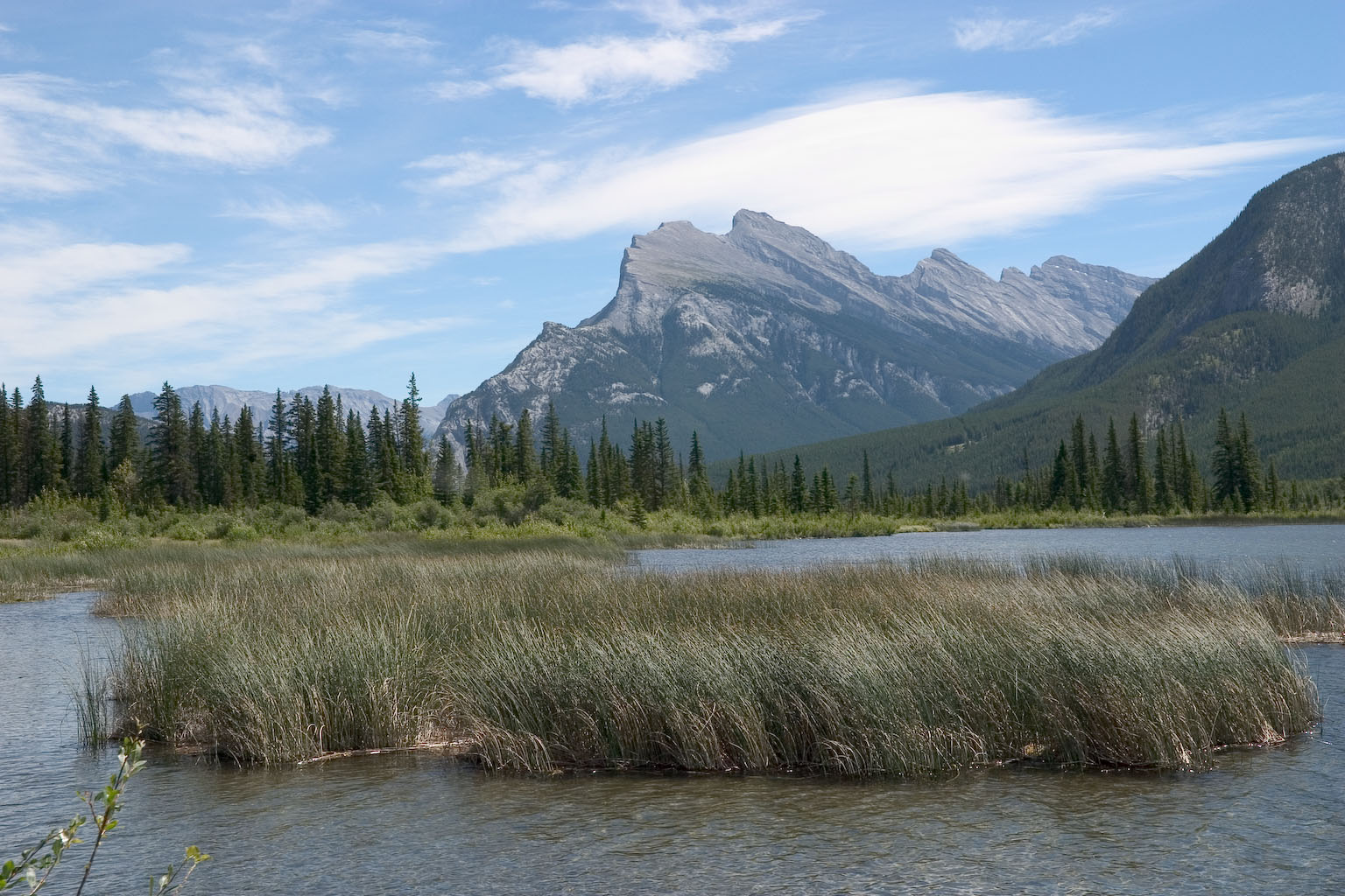
Vermillion Lakes with Mount Rundle in the background. This is
reputed to be one of the most heavily photographed pairs in Canadian
Rockies. Certainly there are variations of this photo on plenty
of postcards.
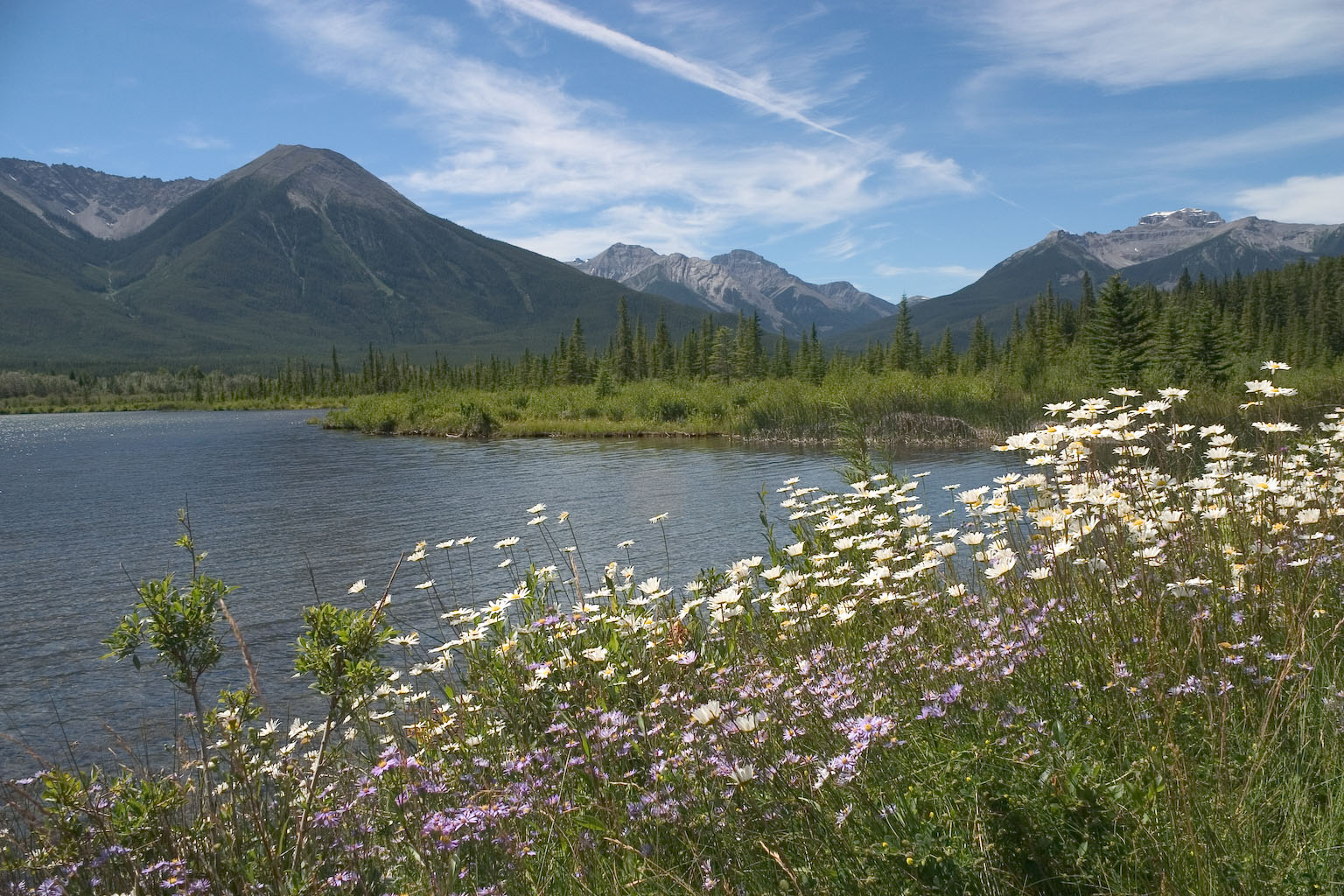
More Vermillion Lakes, looking west.
OK, switching sites...
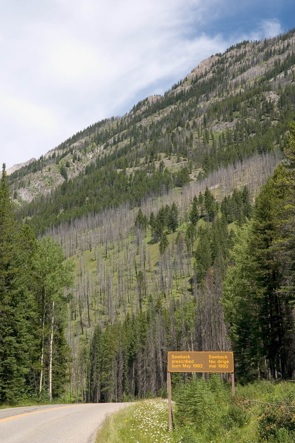
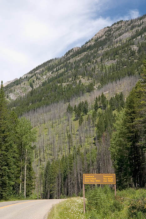
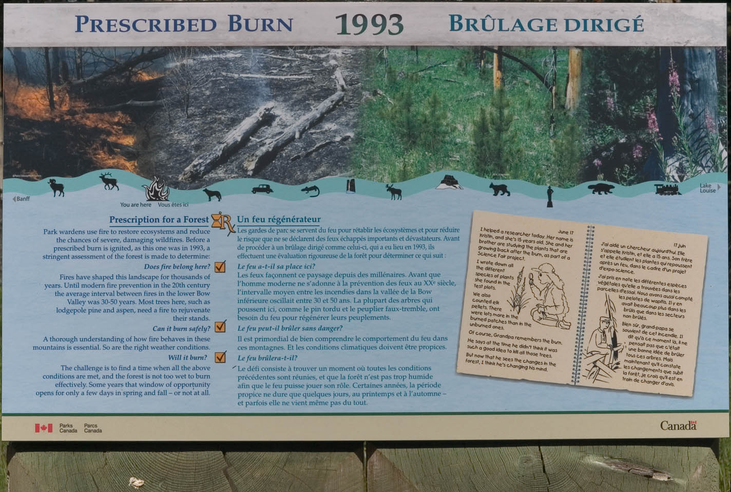
This is on the Bow Valley Parkway, on the way from Banff to Castle
Mountain. The Canadian Forest Service realized some years ago
that their policy of "suppress all fires" was creating a ecological
disaster in the form of uniform mature growth that was not only
vulnerable to catastrophic fires but also did not support the natural
variety of critters. So they started doing periodic
"prescribed burns", such as the one shown here, "Sawback prescribed
burn May 1993".
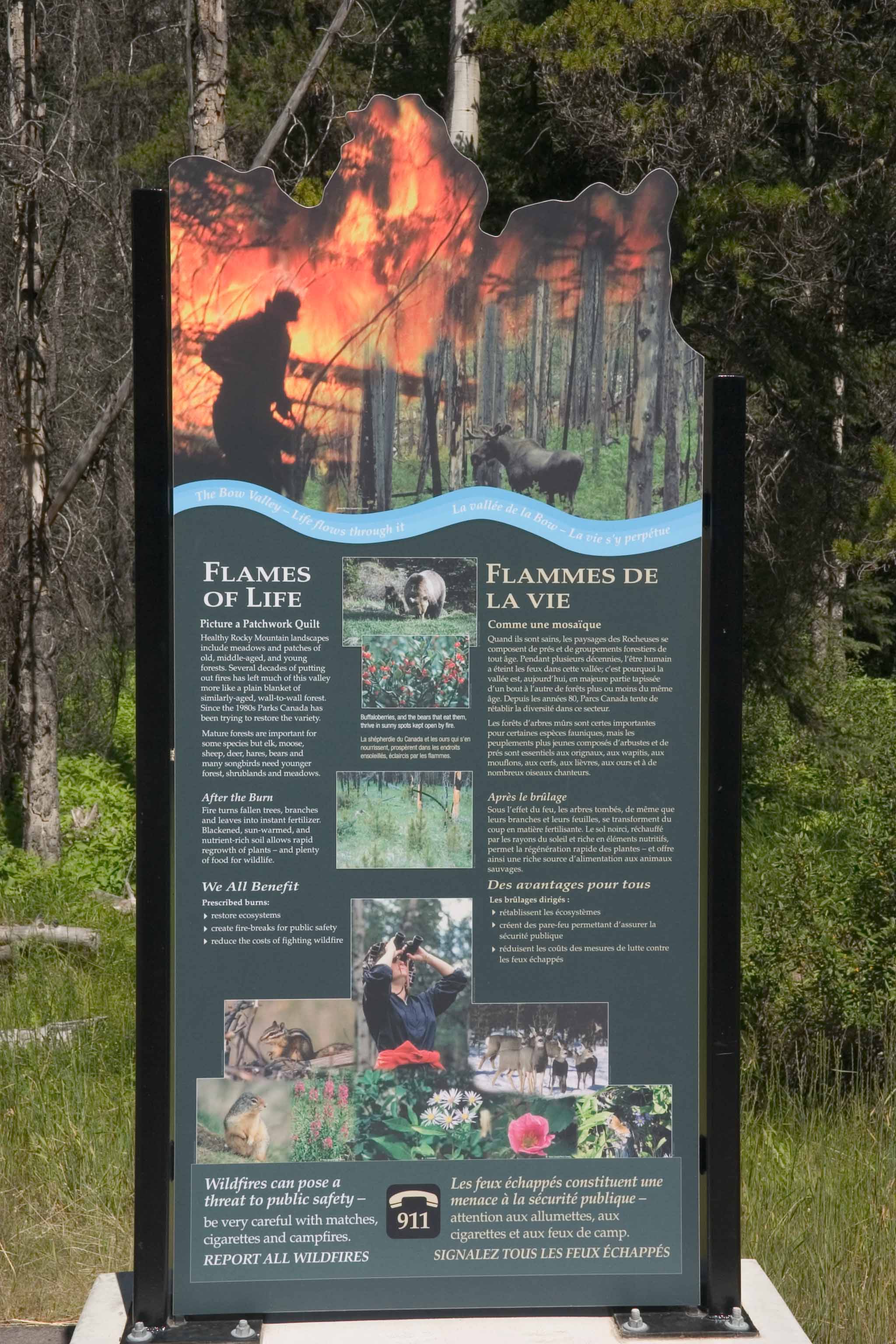
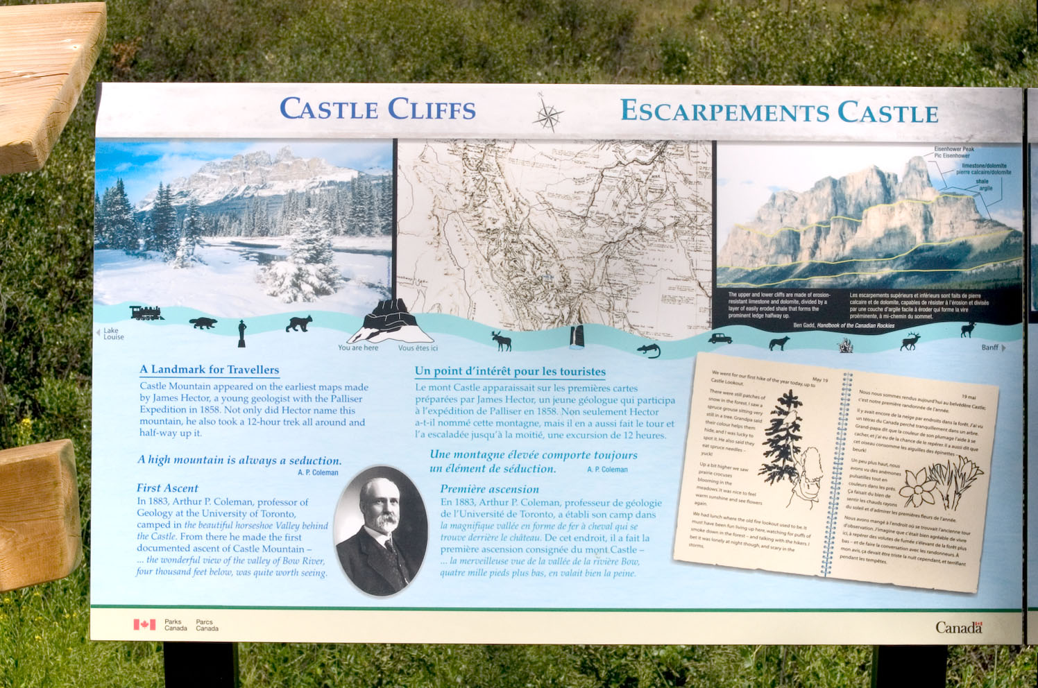
An explanatory sign (click to blow up so that you can read it)...
Likewise...
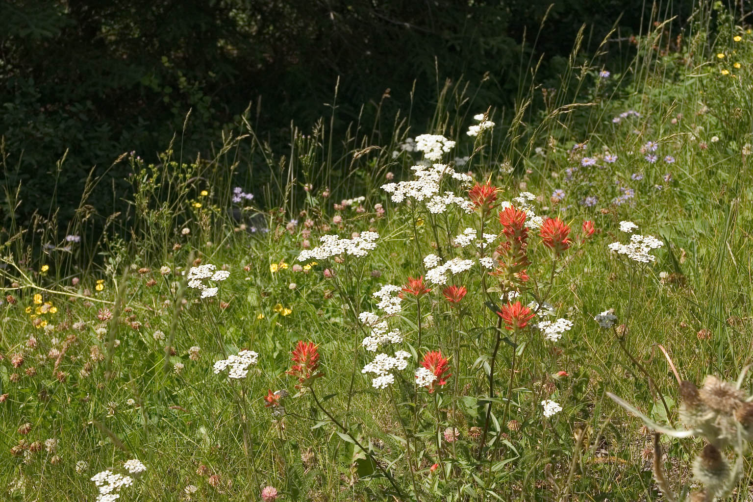
Flowers by the roadside (hiking back after taking the prescribed burn
photo).
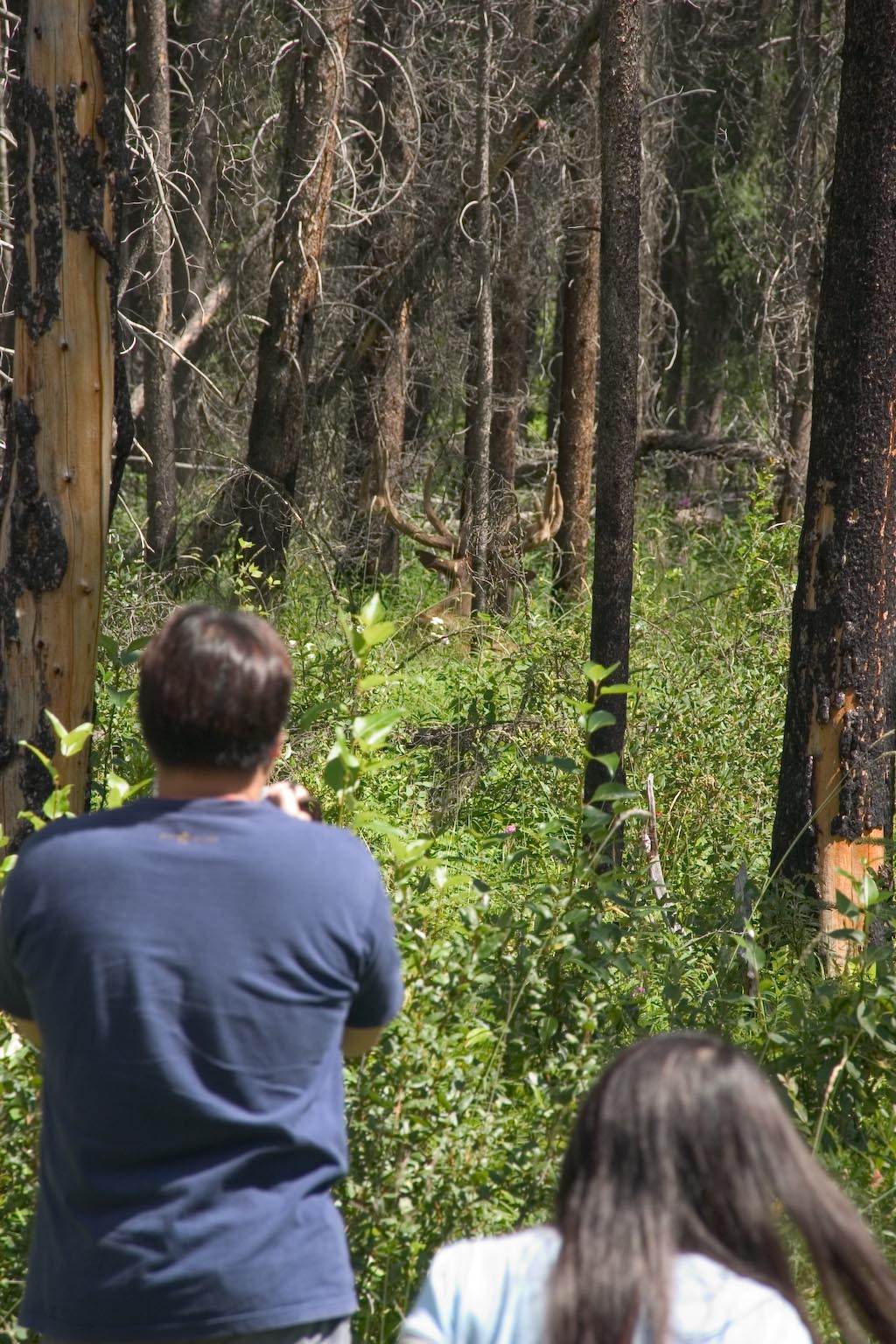
This scene is just off the road at what the local newspaper calls an
"elk jam" -- that being when a bunch of tourists stop to take oogle an
elk. This particular elk seemed pretty safe to oogle, being
inclined to just keep lying down way back in the trees...somewhere that
you can't make out in this photo. Oogling the elk at other times
and places is notably dangerous, witness the much-reprinted picture
shot by a German tourist, of some guy playing cat-and-squirrel (he was
the squirrel), trying to keep his car between himself and some
ticked-off male elk with an impressive set of horns. The signs
said that the females were not to be messed with either -- they kick.
Oh yeah, there's the elk, dead center in the photo, studiously looking
the other direction.
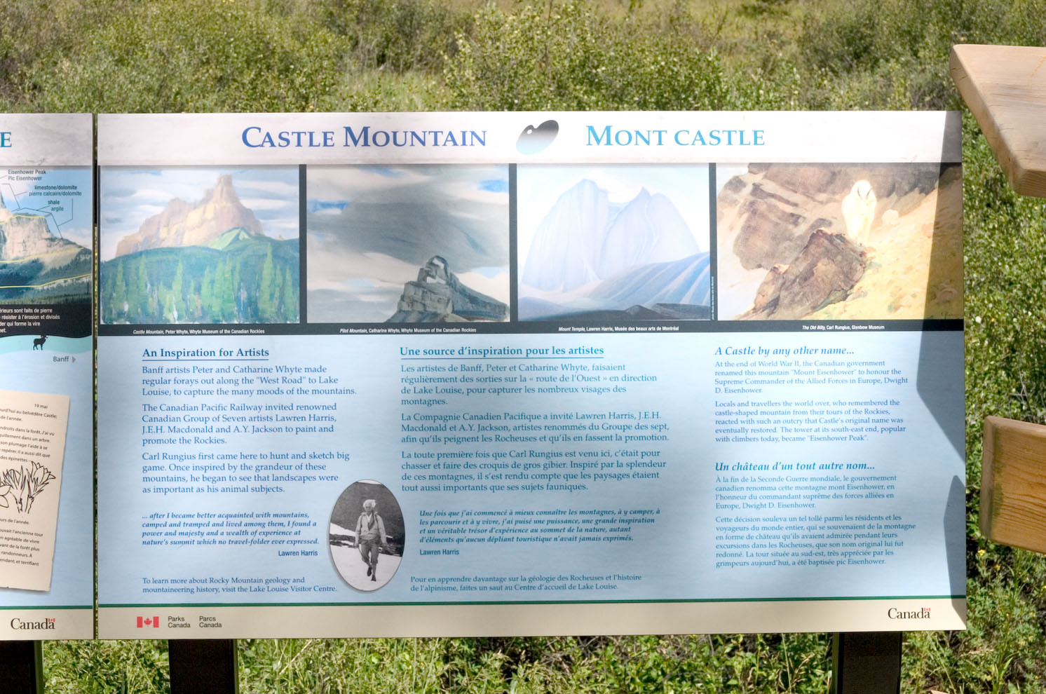
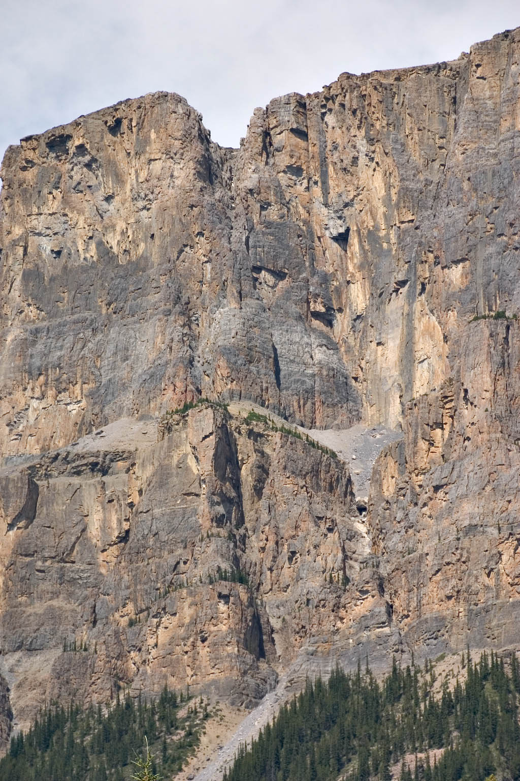
Here's the whole of Castle Mountain. Interesting story on the
signs, which are blown up below so you can read them.
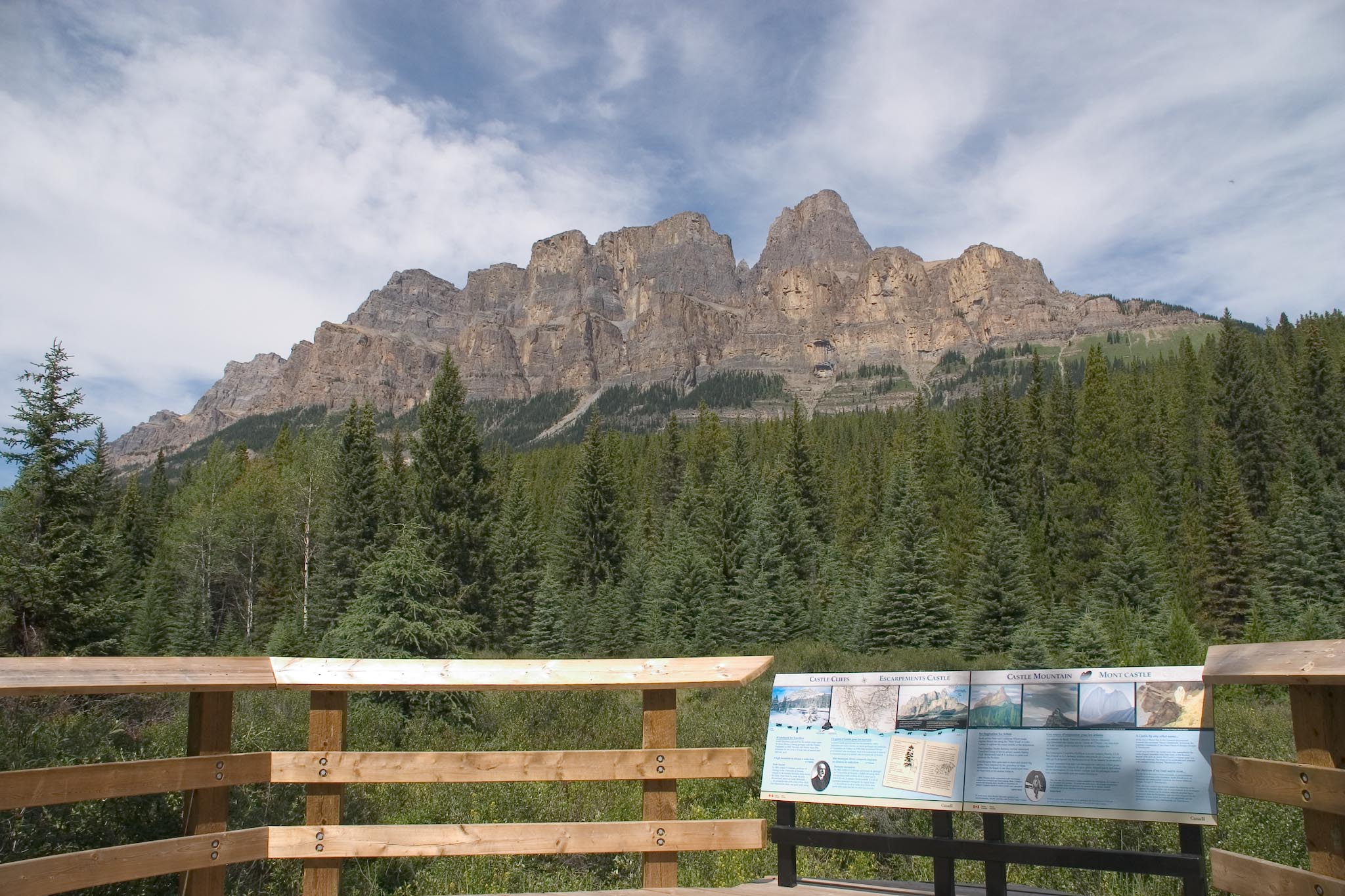
Click to enlarge. We were impressed with the snipped that "Not
only did Hector name this mountain, he also took a 12-hour trek all
around and half-way up it." I have no idea how the guy got around
this thing in 12 hours. The mountain is almost 5 miles long, and
you get your choice between talus and underbrush. I think they
must have grown 'em tougher in those days.
Here is a telephoto shot of the center of the mountain. I am
particularly impressed by the boulder half-way down the talus slope at
image center, that is about half as tall as the trees next to it.
It's a good question how tall those trees are -- they're not exactly in
ideal conditions -- but still it seems like that must be a sizeable
chunk of rock. Uh, wait...perhaps we can get a number from the
image. According to the contour maps, the cliffs here are about
400 meters high, call it 1300 feet. Counting pixels in the
full-size image, the boulder would be about 9 feet diameter, with the
nearest tall tree being about 18 feet. Not quite as
big as I would have guessed, but still a chunk. Can't quite
figure how it got that far down the talus slope and then stopped.
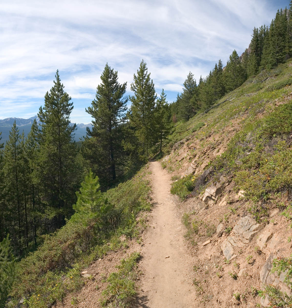
On the trail to Castle Lookout. 3.8 km one way, 500 meters
vertical (about 1600 feet).
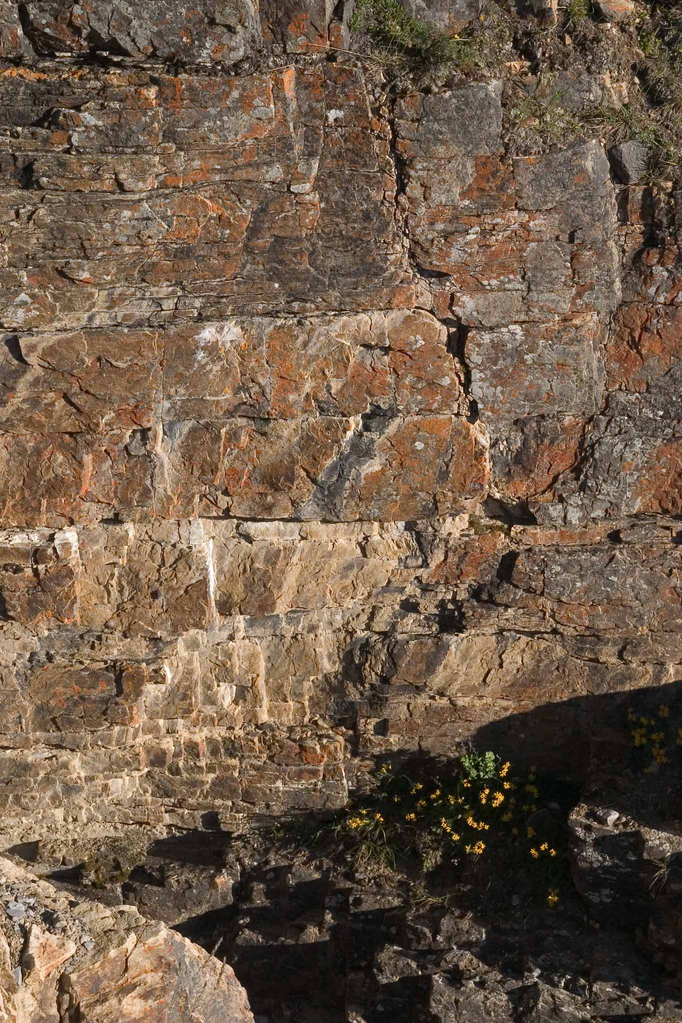
Same trail. I was entranced by the colors in the rock right here.
Same place. Yeah, I tipped the camera to make the rock layers
horizontal. This picture is very nice by itself, though I have to
confess that it looks a little strange juxtaposed with the whole scene
in the above shot.
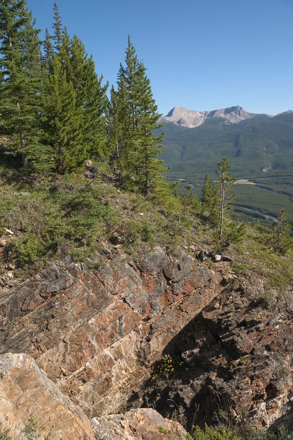
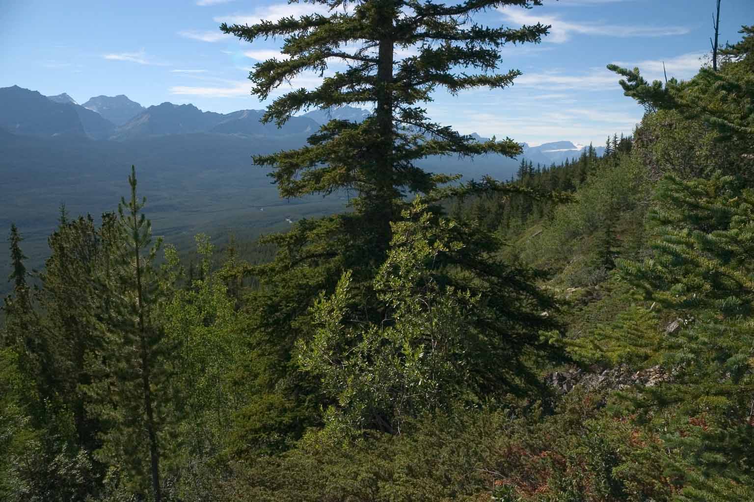
Just a scene from along the trail. This shot is really setting up
the next one, which is a telephoto shot of the ice field way off in the
distance at the right side of the mountains.
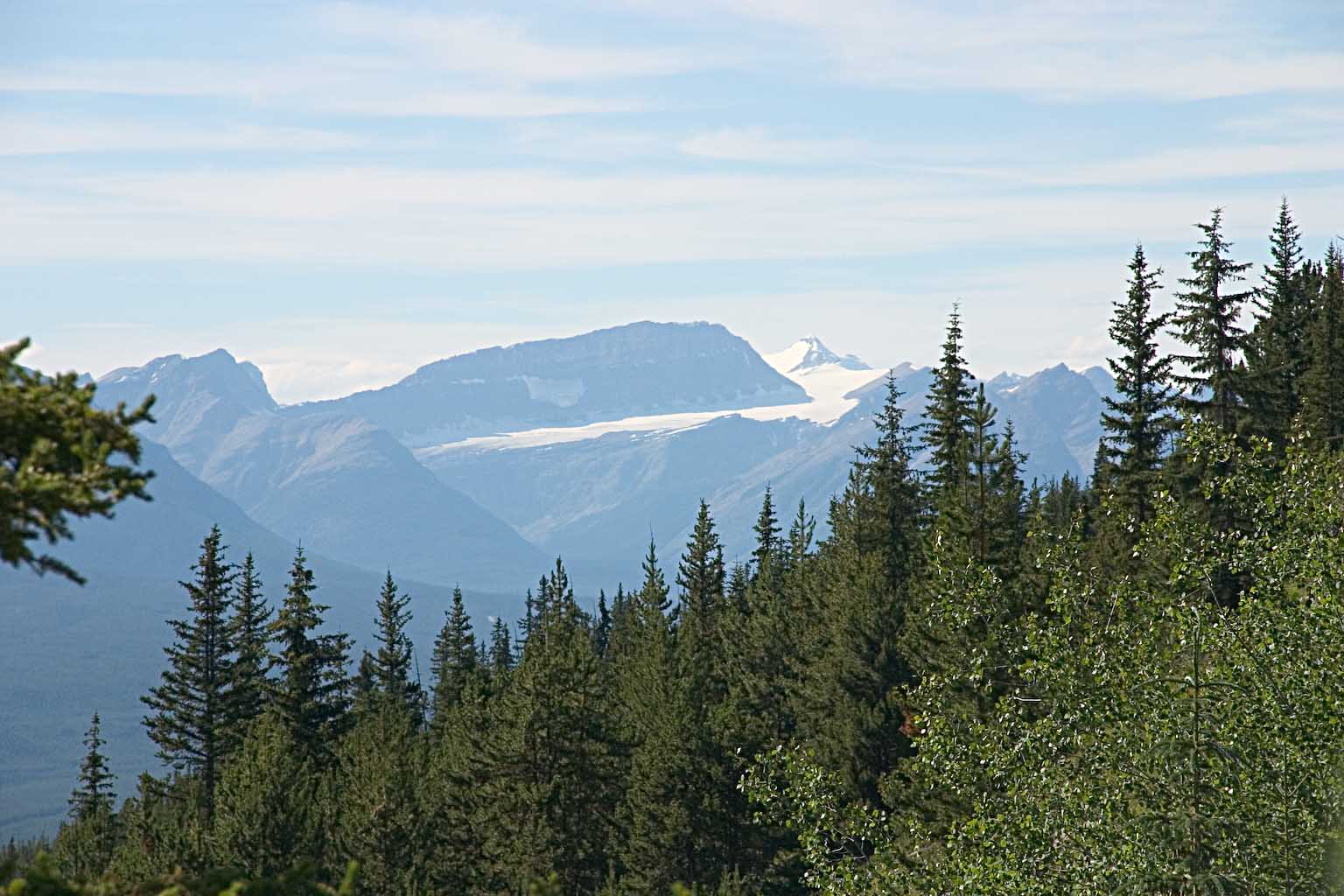
And here's the icefield. When we went on up to Lake Louse for
dinner, we could get a better handle on where this icefield is.
Turns out that it's just one major valley north of Lake Louise, the
Bath Glacier coming down off the Waputik Icefield. That would
make it about 40 km (25 miles) away.
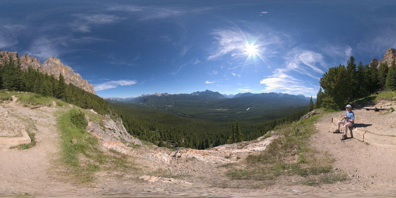
And finally, we have a full-spherical panorama shot at the old lookout
site. Click to play with it.
Dinner was again at Bill Peytoe's in Lake Louise. Nice
place. Their pepper steak stir fry was addicting.
--Rik
This page last modified September 10, 2005.