South Fork Tieton Headwaters Basin
(partial), April 22-23, 2005
Hike #71 in "100 Classic Hikes in Washington" describes an
out-and-back-plus-loop route starting at Conrad Meadows (3900 feet) and
winding around the headwaters of the South Fork of the Tieton
River. The scenery is described in glowing terms, and the hike
itself is described as 15 miles, high point 5500 feet,
"allow 3 days, hikable July through September".
Given the light snowpack this year, I thought it just might be passable
even this early (April 22-23).
Nope!
Conrad Meadows was clear of snow. The lower trail was also mostly
clear, with patches of snow and ice on the trail. At higher
elevations, snow covered the trail and following the trail started to
get a bit tricky. At 5300 feet, starting the traverse around the
headwaters, there was very little trace of the trail even in trees and
there was enough somewhat slushy snow to sink knee-deep in many
places. Doing another five miles of this to complete the loop
seemed way out of scope,
so I just camped on a nice patch of snow overlooking the meadow at 5300
feet and came back the next morning.
Hiking time was about 6 hours in, 5 hours out. Trail distance
around 6 miles one way, according to the guidebook. (GPS track
too spotty to get better distance.)
I was surprised by the snow quality. Going in, it was pretty icy
on the bottom and got slushy on top. I thought that this was due
to warming up during the day. But coming out, it was still slushy
on top (early morning) and got icy on the bottom approaching
noon. Don't know what's going on.
Note that the trail has been rerouted from what is shown on the USGS
topo maps and in my Garmin GPS MapSource. I did not have a copy
of the current Green Trails map and at one point was pretty much
convinced that I must have gone astray. Fortunately I also had
the map posted at Conrad Meadows, captured into my digital camera.
--Rik
(Most of the following still images can be viewed at higher resolution
by clicking on them.)
Elk on Conrad Meadows
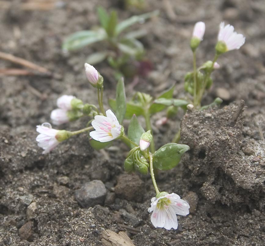
One of the few flowers that was out already (Conrad Meadows)
South Fork Tieton River
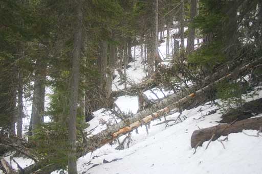
Interesting rotted log
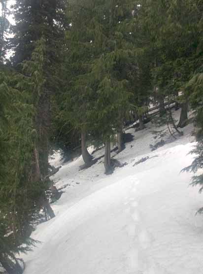
Trail at 5200 feet
Trail beyond campsite at 5300 feet
Campsite at 5300 feet (QuickTime spherical panorama, press-and-drag to
pan, shift and control to zoom in/out)